
I’ve been left to go feral over a three-day weekend. Teresa’s mum is sick, and in Taiwan that often means that family members take it in turns to camp out in the hospital with their loved ones. So I’ve been by myself. One unfortunate consequence of that is my sleep schedules become horrific and that means I haven’t been able to get up early enough to do anything properly exciting. For that reason, I decided to come and have a wander around the paths on Bitan’s Hemei Shan. It had been on my list of possible half-day activities for a while, but I’ve never quite had the push to do it until today. It seemed it would make the perfect trip for today, and indeed it did. It’s not exactly a high-energy adventure, but it makes for a good afternoon wander.
Once a highlight of Taiwan’s domestic tourism industry, Bitan is now a relaxed feeling, end-of-the-line destination, mostly populated by families looking for an easy day out. To see a different side of this weekend hotspot you can cross over the suspension cliffs and take a walk up one of the trails up to Hemei Peak. With it’s abandoned amusement park and the return trip on the lone surviving paddle ferry, this really is a wander into Bitan’s past.
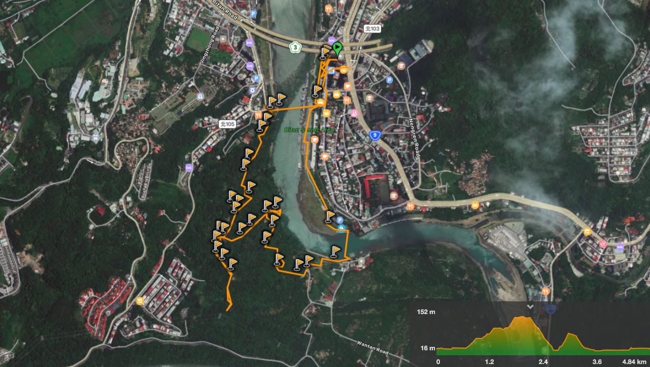
Distance: 4.8km
Time: 1½ hours at a meandering pace.
Difficulty (regular Taiwan hiker): 1/10 – it’s harder than sitting at home, but not by much.
Difficulty (new Taiwan hiker): 2/10 – even for people unaccustomed to hiking in Taiwan this should be pretty easy. The paths aren’t long, the maps and signage are in Chinese and English, and although there are steps, the overall climb is not too great.
Total ascent: around 210m, (but this would be a lot less if you just stuck to the blue trail).
Water: I drank about 1L on a hot day, but I tend to drink a little more than most people.
Shade: on and off – I needed an umbrella in the sun.
Mobile network: pretty clear.
Enjoyment: not bad, a very serviceable afternoon walk for when the weather isn’t looking great, if you left it too long to go anywhere more far-flung. It’s also a pretty good choice for solo walkers who aren’t yet comfortable walking alone since it’s a busy area with well-maintained paths. However if you’re looking for wild and remote you might be disappointed.
Other: if you time your walk well you should be able to head back and fill up on snacks from Xindian Old Street.
Jump to the bottom of this post for a trail map, GPX file, and transportation information.

Leaving Xindian MRT Station, you can either cross the road, go up the steps under the road bridge and walk left along the river, or turn left and walk up the road. Either way, head for the suspension bridge.
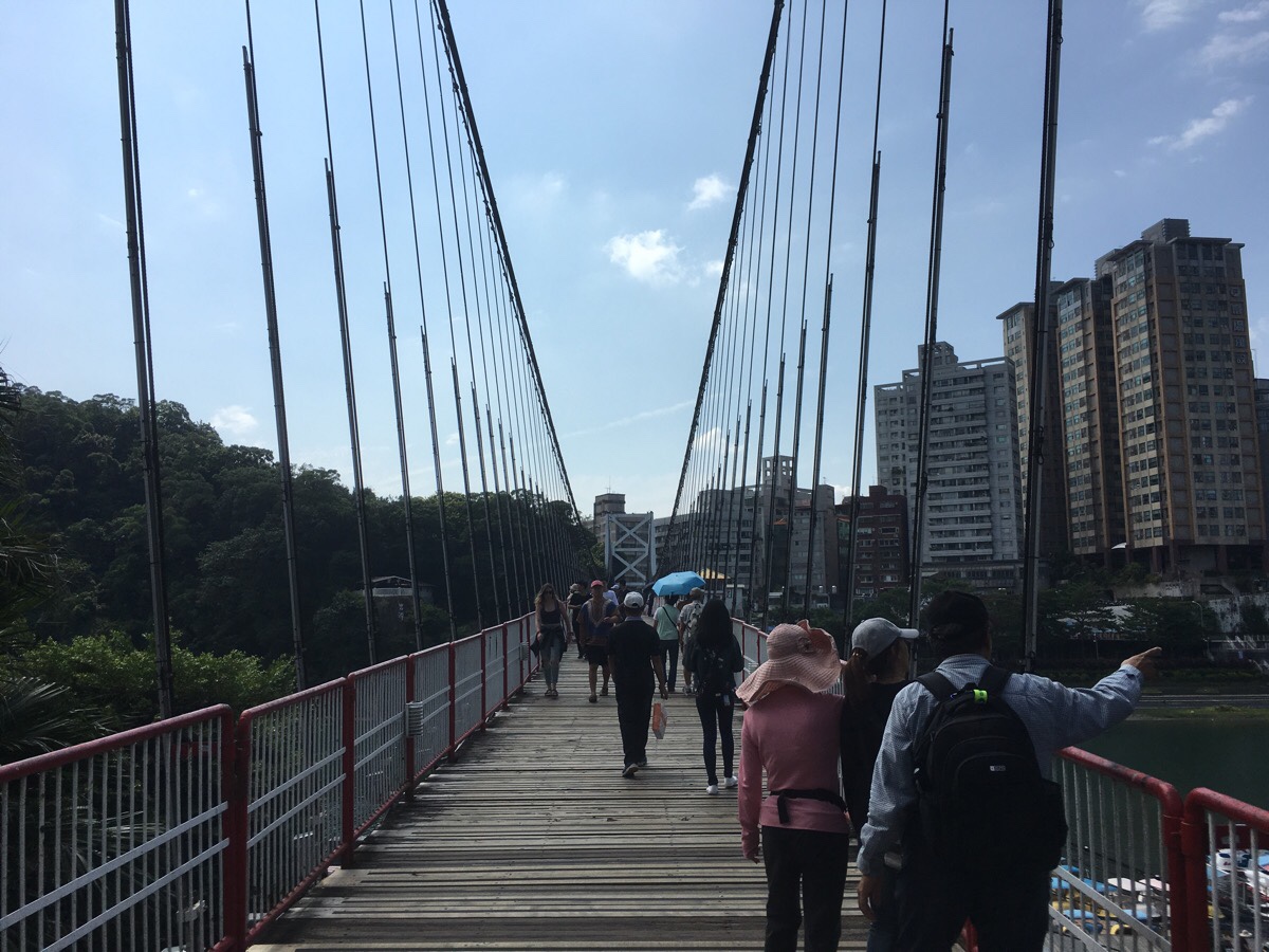
The bridge jiggles gently from the footsteps of heavy walkers, and it offers you good views out up and down river.
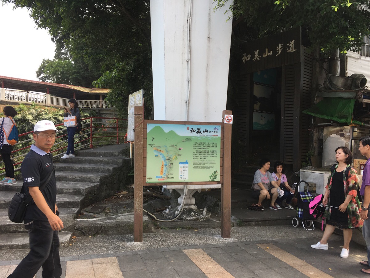
At the far end of the bridge there is a trail map and two flights of stairs. The steps you need are the ones hidden on the right of the map with 和美山步道 written above them. The start of the trail is through a kind of outdoor corridor lined with photos of Bitan.
A very short way into the walk, the path splits into two trails. The green trail and the blue trail. The blue trail (left) stays closer to the water and the green trail (right) eventually leafs towards Hemei Shan.
Of course I wanted to see what the view from the top was like, so I went right.

A little way up, I started to notice signs of the hill having had a different past. There were lots of abandoned buildings and paths all over the hillside. A quick google when I got back revealed that these are the remains of 幸福樂園 (Happiness Paradise), a small theme park that closed down over 20 years ago.
There are a few photos available online of how it used to look back in its glory years. And more recently more photos taken by urban explorers.

At a cross roads I chose to go right uphill towards Hemei Shan, (although I think heading straight might work too).
At the top of the steps the path goes left, (straight in this picture). But first I took a quick look at the area to the right of the path.
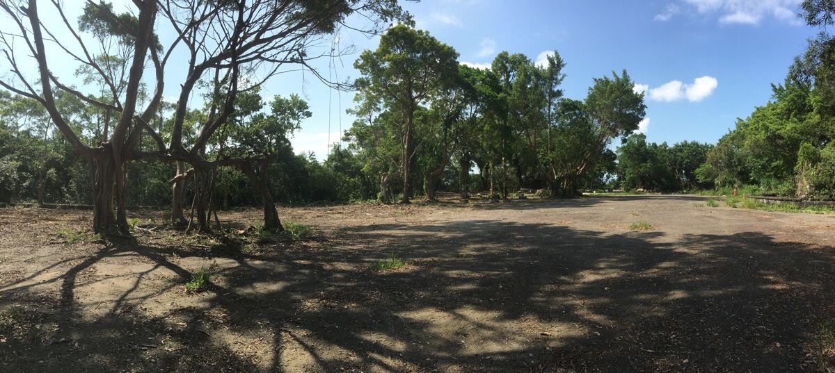
There’s a large, flat concreted area which must be part of the Happiness Paradise complex. As it is now, it’s just large patch of concrete that’s slowly being cracked open by weeds and time.

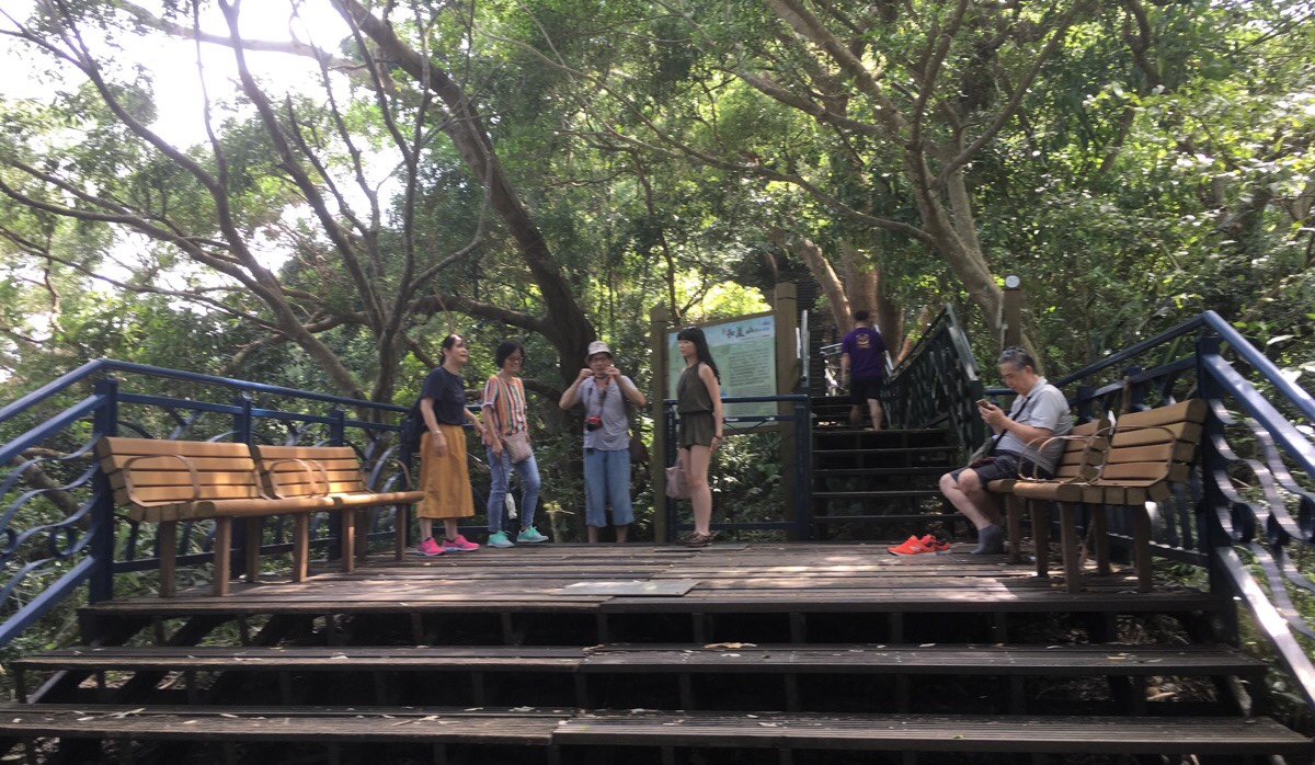
Heading down from the concrete, the path reaches another (better maintained) plaza. There are at least four paths joining here, at first I went diagonally across and up the steps toward Hemei peak, but I would later come back and take the steps heading downhill.
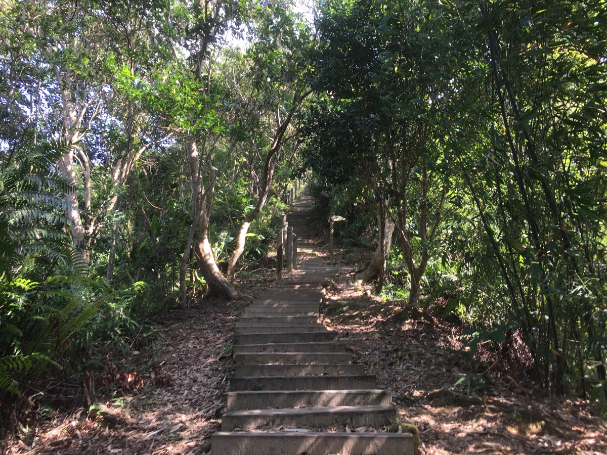
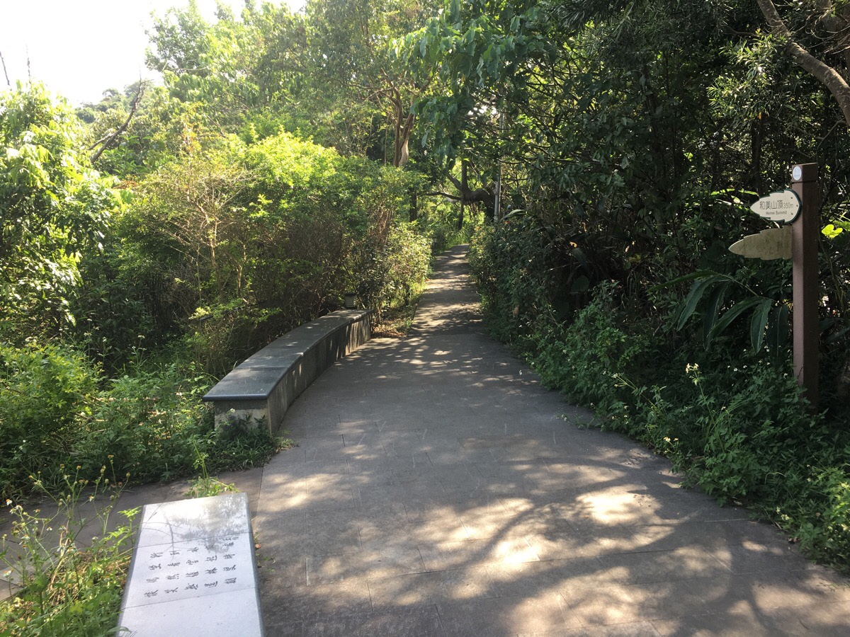
This path is pleasant – wooden steps, shady and quiet.

It’s only a couple of hundred metres to the top, so it didn’t take long. From here you can see up over the city towards Yangmingshan National Park (Qixing Shan was beheaded by the clouds), and also upriver towards Wulai. Those mountains there are so inviting!
I did briefly check out the trail leading beyond the peak, but it wouldn’t take me where I wanted to go so I turned back and retraced my steps downhill.

After reaching the plaza for the second time, I took the steps heading downhill. There are actually three paths down the steps – I wanted to head down, so I took the middle one and kept walking downhill. Not far beyond where this picture was taken I came across a recently drilled hole in a dead tree that overhung the path. The steps below were littered with bird-made sawdust. It seemed an unusual choice of nest-site, but I’m not a bird, so who am I to judge.

Shortly, the steps rejoined the lower blue trail, but I ignored it for a while and headed straight down. I wanted to get to the water. (The guy in the picture was there with his partner and son, they were British and the woman had a proper local accent that I haven’t heard for a long time. I half wanted to say hi, but I settled for a nod and smile instead.)
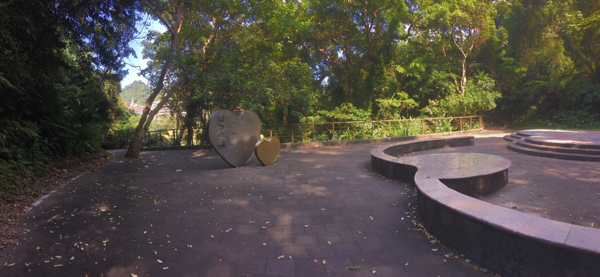
The steps lead down to a heart themed clearing. I wanted to get down to water level, so I first took the path on the left before later returning to take the steps on the right.

Two women were taking photos on the wharf when I arrived, but they soon left. When I had the spot to myself I took out my grapes and snacked on them, feeding small pieces to the fish as I watched inept pedal-boaters try and navigate the expanse of flat river.
After finishing my grapes, I returned to the ‘love plaza’ and took the other set of steps heading up.

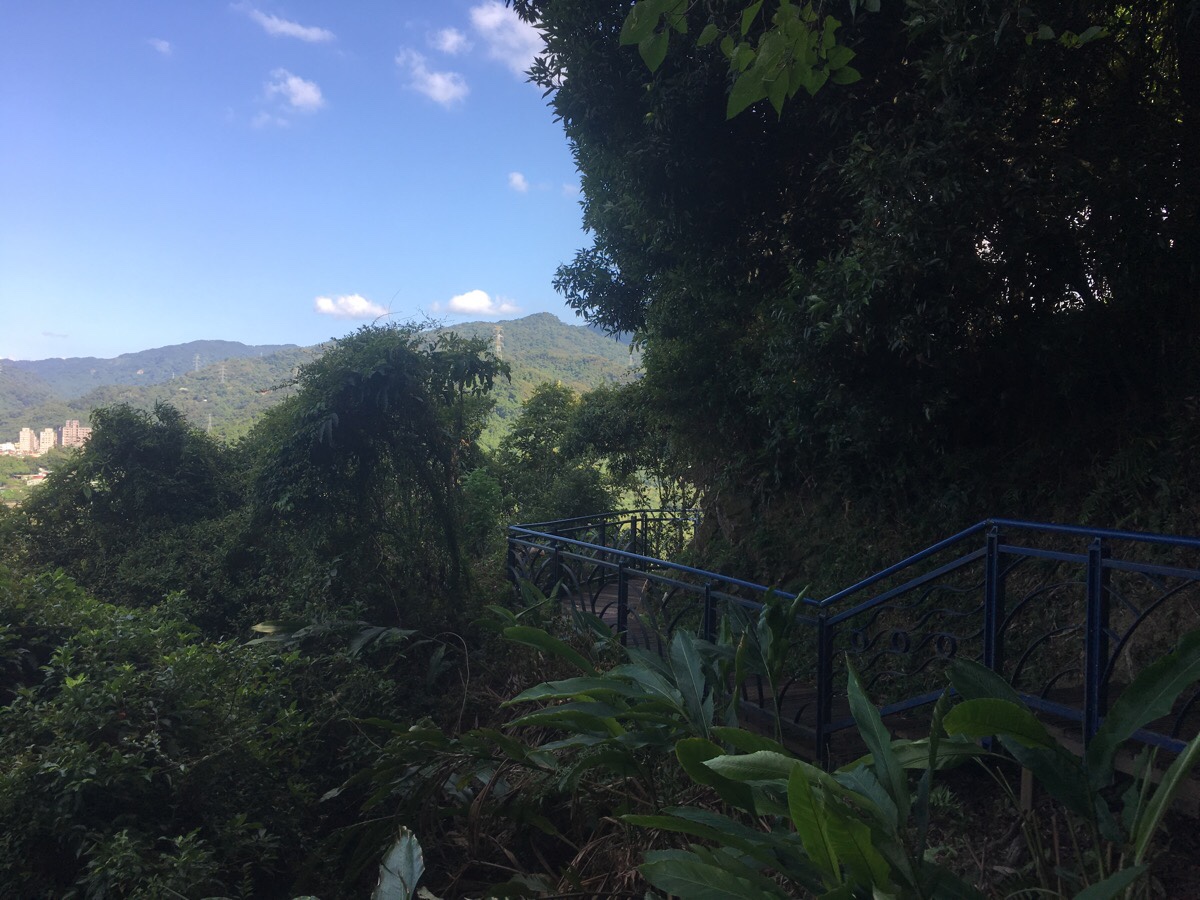
The path rejoins the blue trail as it does a dogleg and heads up. I followed it up towards what the trail architects have named “plank road”.

At the next junction it became clear what plank road meant. The trail turned left onto a boardwalk which edged around the side of the hill.
From here there was a great view looking back towards the two bridges.
And some places had views out towards the more southern hills.
I really liked this section of path – and if you don’t fancy such a climb, it would still be worth a visit just to do the blue trail.
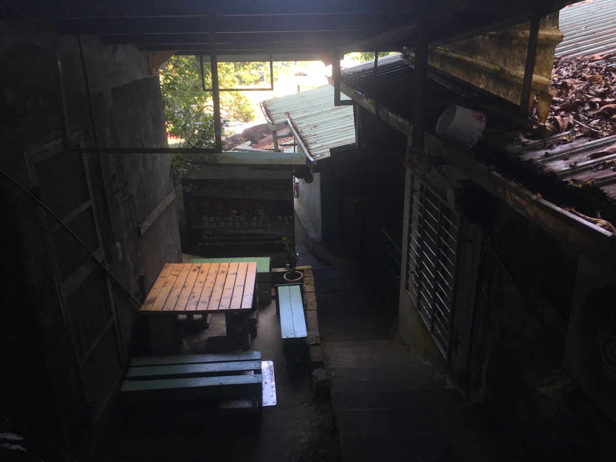
Just like at the other end, the trail leads out through a strange corridor. This one passed through some sort of gallery with pamphlets advertising a film (about something to do with forests), which was playing in a room right next to the path.
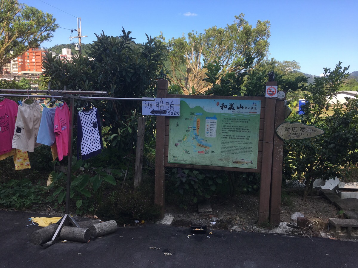
Where you rejoin the road, there’s another map and a sign indicating that the Bitan ferry is to the left.

The ferry pier is a nondescript flight of steps cut into the side of the river. As I waited for the boat to return to the bank I was on I watched a middle-aged guy swimming – I wasn’t keen to join him, there were dead fish bobbing around in the water next to where I was waiting.
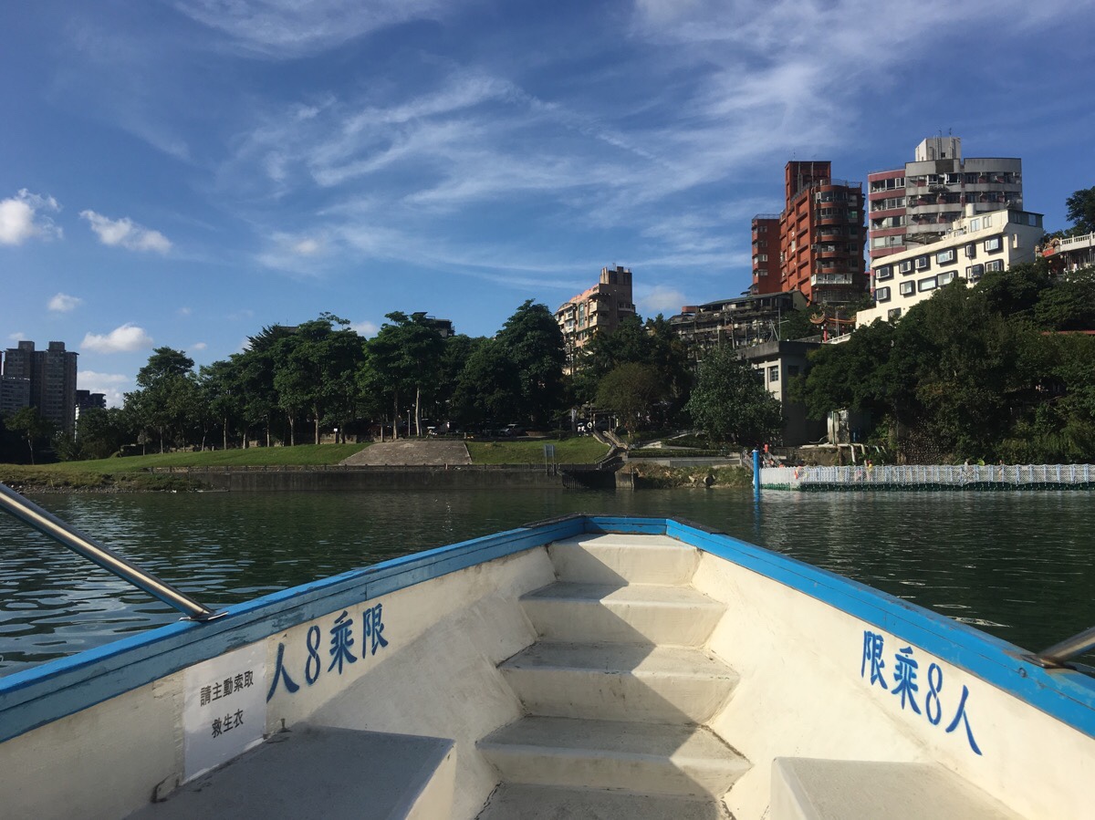
The ferry man was a man of few words – when I asked where to put the money, he indicated towards the tin and said nothing. (It’s $30 per adult, and it’s better to make sure you have change, I didn’t get the impression that he’d be thrilled to give you change for you $500). We waited a while to see if any more customers would show up, but they didn’t and I ended up being his sole passenger. The ride was quiet and steady, just the splash of the paddle. The only words he spoke during the whole thing was when he indicated that it was ok for me to disembark.
Once over the far side I headed back along the river bank towards the MRT station.
How to get to Mount Heimei Trail
Google maps address: the trailhead starts from the far end of the suspension bridge right behind some shops.
GPS location: N24 57.370 e121 32.090
Public transport: this walk is easy to access from Xindian MRT Station.
Further reading: there are a few other articles written about this walk. It’s been mentioned on the Taiwan News website and on this site too. There are hundreds of posts written about it in Chinese, and Tony Huang has vlogged it.
Nearby trails:
- Taipei Skyline Trail – Section 1A
- Taipei Skyline Trail – Section 10B
- Xindian Lion’s Head Mountain
- Yinhe Cave Waterfall
Hemei Shan Trail Map
GPX file available here on Outdoor Active. (Account needed, but the free one works just fine.)
Come and say hi on social media:
This is the bit where I come to you cap in hand. If you’ve got all the way down this page, then I can only assume that you’re actually interested in the stuff I write about. If this is the case and you feel inclined to chip in a few dollars for transport and time then I would appreciate it immensely. You can find me on either Ko-fi or Buy Me a Coffee.

I have been using your blog since I came to Taiwan in July 2019 and really enjoy it. I’ve just sent this post to my friend as a recommendation for a kid friendly walk we had done and enjoyed and as I was reading it realised you actually did the walk the same day we did! The photo is off my husband and son and you refer to my accent! Made me smile 😀
LikeLike
What a lovely coincidence. Now I wish I had acted on my initial impulse to say hello! I remember thinking that it was delightful to see a family out enjoying the trails. I promise that if I come across a British family out walking again I will be less antisocial!
LikeLike