
Distance: 10.1km – For a shorter version try this route.
Time: 3½ hours
Difficulty: 4/10 – No individual part of this is too challenging, however directions are probably the thing which gave me the most difficulty – if following a map, then it’s easy enough, but directions on the ground are a little lacking.
Total ascent: 558m from a low of 7m to a maximum elevation of 249m.
Water: 1.5L – There are plenty of places to quit and return to the city if you’re in need, but 1.5L should cover it.
Shade: Patchy—some areas are well covered, but I needed my umbrella in parts.
Mobile network: Mostly ok, but with a few black spots.
Enjoyment: Good for a quick and easy escape from the city, but not anything that amazing in my opinion.
Other: There are many ways to walk this route, with paths joining from both sides at regular intervals, so don’t feel put off by the length—you can make this one as short as you like.
Jump to the bottom of this post for a trail map, GPX file, and transportation information.

Leaving Jiantan station by exit three, turn left and cross over the road.

Once over the road, turn right and walk south passing a bowling alley on your left. The start of the trail is actually just beyond the bowling alley and starts from a little corner within the grounds of the bowling alley which is pretty hidden from the road, (just where the little red bollards are in the picture).

There is an ominous sign at the start of the trail. Being alone, (and being a bit of a scaredy cat), I was just about to take the sign’s advice and find an alternative route, but then I saw a granny hefting her shopping cart down and that changed my mind. I know I’ll never be as tough as a local grandma, but I can at least try.

There is another sign slightly further up, but this one just says not to linger, so it’s not quite as alarming. Heading up the steps, I passed two temples in quick succession. The first was locked, but the second was open. It had an interesting cave-like section carved into the back of the temple for one of its deities.

Leaving the temple and continuing upwards, there are a few side trails and distractions, but I followed the path as it climbed until it emerges out onto a slightly larger path and I kept left going up.

Passing a temple/exercise area on the left, I took the left set of stairs and headed up, up up.

The path connected with another path which heads up from the Grand Hotel and I followed the signs towards the observation deck.

This was actually my second time following this particular section of road, but the first time I had been unable to see anything due to poor weather. When I reached the junction at the weather station and observation area, I headed straight over on the smaller path, but I think the larger path on the right ends up at the same place after a short way.

After a short downhill, I rejoined the main path and continued left.

The path is wide and follows the ridgeline for someway past Lao Difang, a good spot to watch the planes taking off from Songshan airport. Following the path, I soon reached the junction where I’d headed down before, but this time I headed on.

A little further beyond the junction, I encountered this quick-moving and rather elegantly coloured bug. Googlings suggest that it is an example of the epicauta hirticornis species.

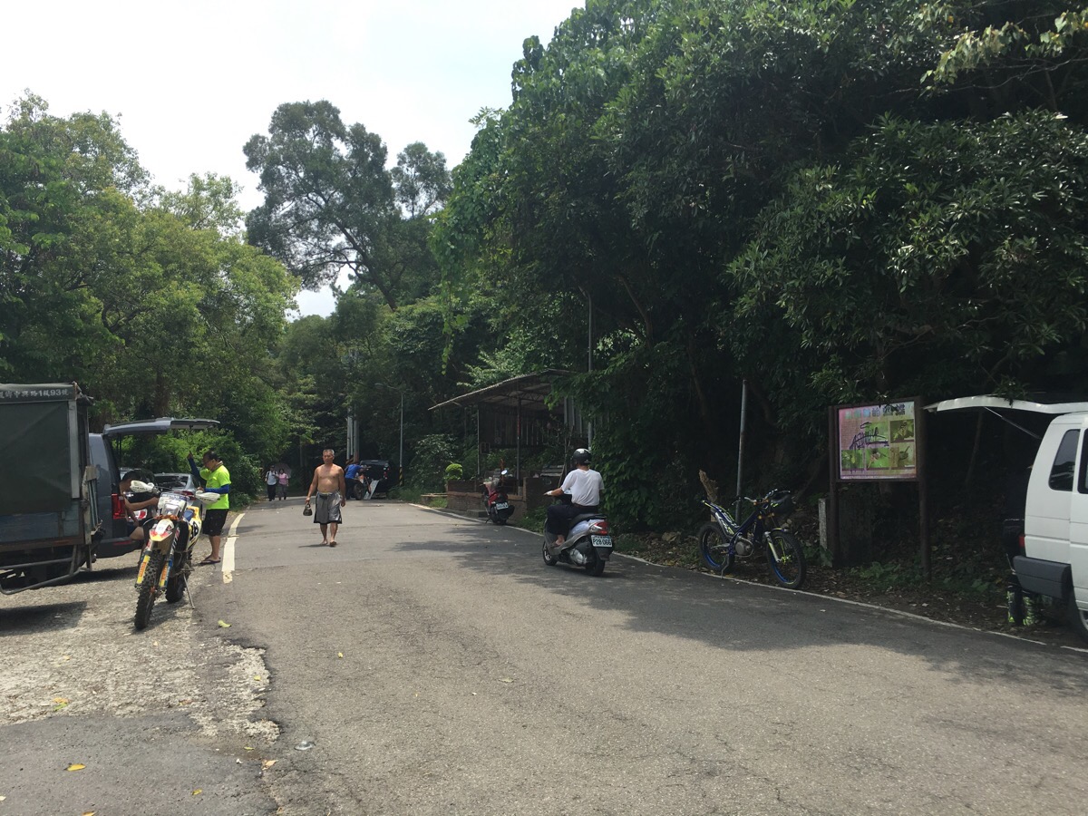
A few hundred metres or so from the previous junction on the right, the path joins a road. On the left, there are some buildings and I heard (but didn’t see) some noisy dogs, however I didn’t have to meet them since the path follows the road to the right. I passed what seemed to be an abandoned farm of sorts and encountered a few people walking in the same direction along this section.

Where the track meets a more established road, I headed to the left and continued up a little.

The road curves around and there is an information board next to a small path leading downhill – ignore this one and continue up and round the bend until you spot a second path leading off to the right.

This section had some of the best views of the walk and it was noticeably quieter than the previous section.

The path was also a lot less defined than it had been up to this point. At a junction, I kept straight, (although the path to the right was so overgrown that you may not necessarily spot it).

The path arrives at 文間山/wen jian shan. This isn’t an especially spectacular peak – there are some seats and a trig point, but the only view I enjoyed whilst I was there was a giant spider spinning its web above the path.
From 文間山, the path goes abruptly down and opens out onto a road. I walked left towards a large gathering of dirt bikers who seemed to be preparing to head off on an adventure.

I ignored the first track off to the right since it looked like it might be better if I had gloves, and instead walked down the road until I came across these stone steps heading up.

This was quite a pretty section of raised path, and the up was more comfortable for my tired feet than the previous downhill had been.
Not far along the path, there is a shrine which is open to the elements on three sides. There is a large collection of deities on the alter and a picnic table where I sat and took in the quiet company of the weather-worn Gods for a while.

The path climbs upwards then descends a little again, and I could hear the dirt bikers scrambling through shrubbery on the ridge to my left. After arriving at a kind of triangular shaped junction, I kept on heading straight and ignored the path on the left.

I had been following an older gentleman almost since passing the shrine, and we arrived at a mountain shelter almost at the same time. He stopped to talk to some of the people there, and I continued on, passing a group playing some type of card game.
The path does a bit of up and downing along a ridge-line. I ignored turn-offs and just kept heading straight.

The path arrives at the best view of the whole walk. I didn’t stop long to enjoy it because there was a group of men, (two younger and one older) who took to asking personal questions. Actually, it was only the older guy, the younger two seemed almost as uncomfortable as I did. I’m sure Older Guy thought it was just good fun, but as I’ve experienced more times than I would want to, he hadn’t taken into account that fact that I was a lone female and he one of three guys, and therefore any joking/inappropriateness would result in my feeling vulnerable.

So I left the ridge promptly and carried on with the walk. There are many alternative trails branching off along this next section, but for the most part I kept straight and on the best define route. Here I ignored the path running through the pylon.
At the next junction, a turning to the right seemed to head down to 山踋, I kept straight.

Ditto at this small elderly hang-out area, keep straight.
The next junction is pretty much a crossroads. Once more I went straight, (but right here would reconnect to where I turned after a matter of metres).

At the next peak, I decided to head down. It would have been OK to keep straight, but my feet were feeling tired so decided to call it a day.

The trail leads down until it joins a dirt road, there I turned left and followed it until it met the road.

Turn left onto the road and walk to the end.

Left again out of the lane and there, it’s just a case of crossing the road and going straight towards the MRT station.
How to get to Jiantan Hiking Trail
Google Maps address: No. 6, Section 5, Zhongshan North Road, Shilin District, Taipei City, 111 – this is the bowling alley that I started from.
GPS location: Jiantan trail entrance at N25 09.495 E121 31.520, Wende exit at N25 05.135 E121 34.710.
Public transport: it’s a very short walk from Jiantan MRT Station to the start of the walk, and a slightly longer walk back from the end of the trail to Wende MRT Station.
Further reading: this walker followed a similar but not 100% the same route over these hills. One of the more established bloggers in Taiwan has written about this as being one of her favourite hikes in and around Taipei—way back in 2009. If you want the information in Chinese, there is a similar route described here.
Jiantan Hiking Trail Map

GPX file available here on Outdoor Active. (Account needed, but the free one works just fine.)
My new words learnt on this hike:
- 娃娃菜 / wáwá cài / baby Chinese cabbage – the literal translation is closer to ‘doll vegetable’ – it’s kind of cute.
- 銬住了 / kào zhùle / stuck – later on in the day, I saw a cat stuck in a tree – I might have learnt this before, but it keeps drifting out of my memory.
- 表演 / biǎoyǎn / performance or perform – this is another that I keep being unable to remember, despite the fact that it comes up in my daily conversation kind of often.
- 爆發力 / bàofālì / explosive force – used as an adjective to describe a muscular and strong dog. The 爆 is from 爆炸, or explosion, so that makes sense.
